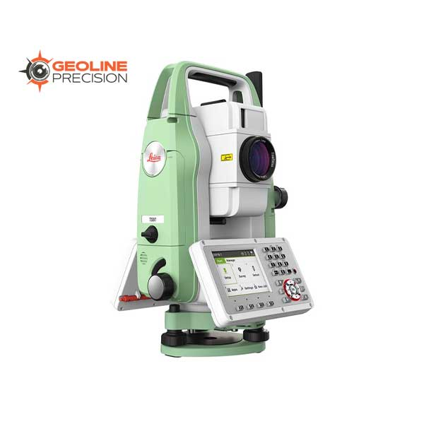
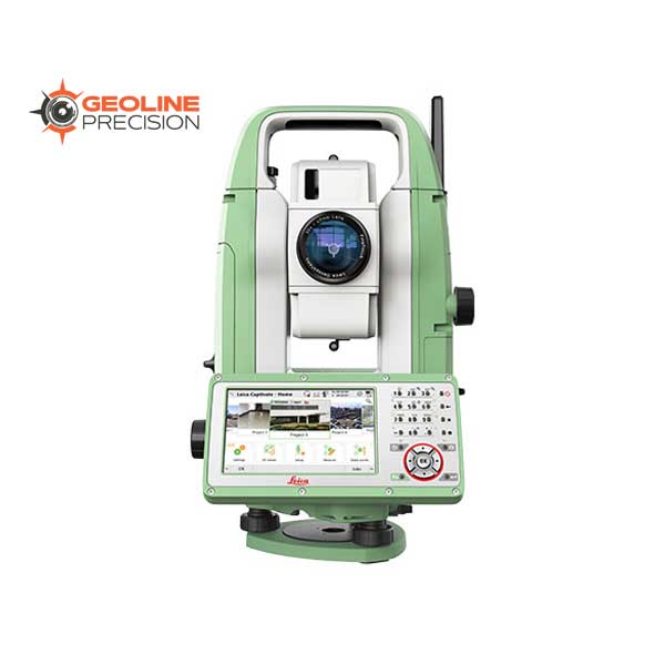
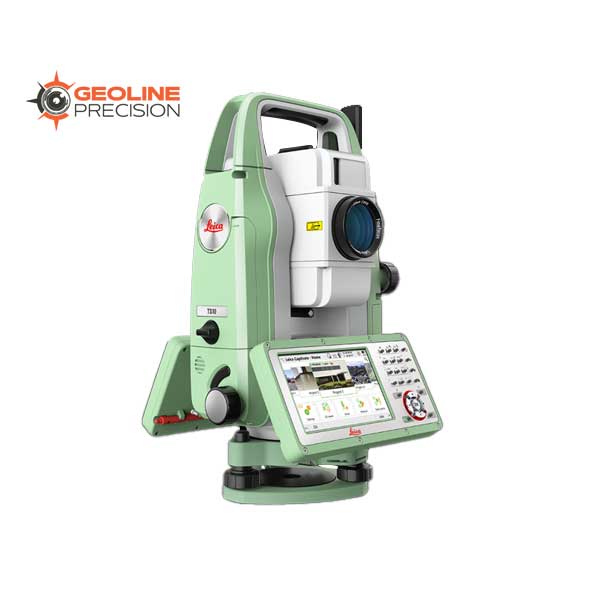
Total Stations

-
Software
GeoCloud Drive Cloud Storage and Data Transfer Service
$ 0.00GeoCloud Drive is a service within HxGN GeoCloud, a powerful cloud-based collaboration portal. Offering expanding services for optimising work and dataflows, HxGN GeoCloud is powered by HxDR, Hexagon’s cloud-native platform for geospatial solutions at any scale.
-
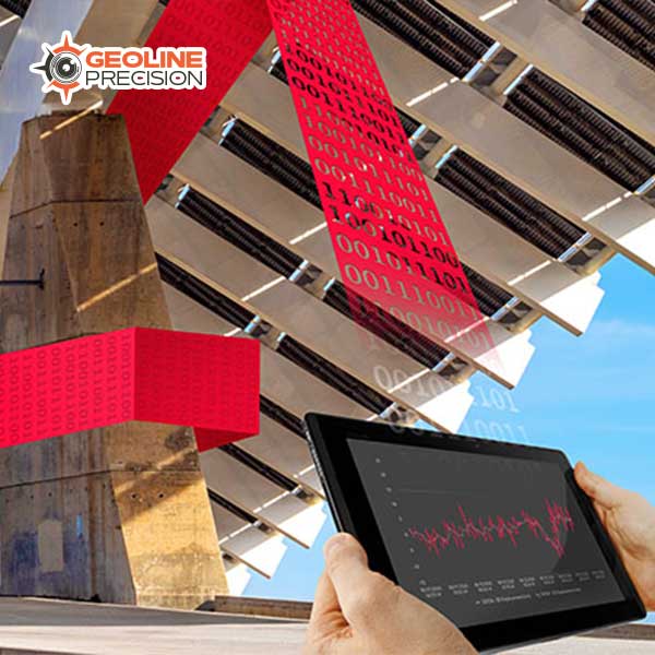
Software
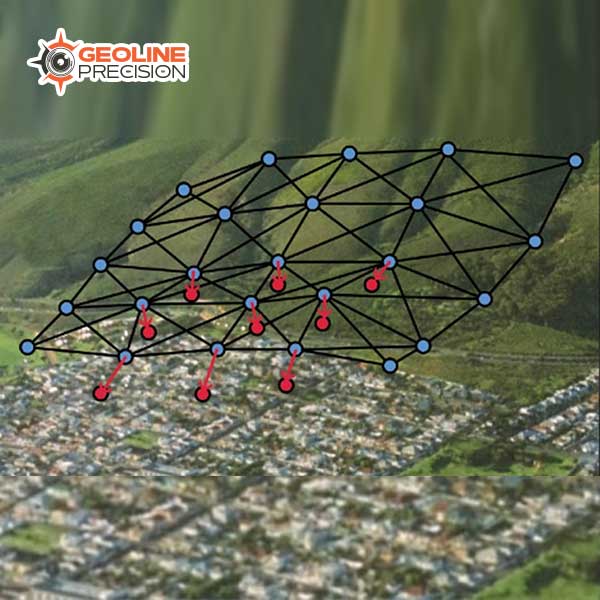
HxGN GeoMonitoring Hub
$ 0.00Slope movement has always posed one of the biggest risks in mining; making slope monitoring an integral part of safety in mines. For the first time, an integrated software platform, the HxGN GeoMonitoring Hub, is able to combine, analyse, visualise and cross check all measurement results delivered by automated monitoring systems, such as total stations, GNSS, radar systems, geotechnical and environment sensors, InSAR, as well as manual readings in one geographic environment.
-
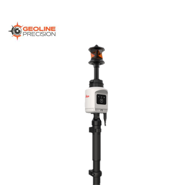
Leica AP20 AutoPole
Leica AP20 AutoPole
$ 0.00The Leica AP20 AutoPole is a unique and productivity-boosting smart solution for our robotic total stations, removing the last analogue steps in your digital survey workflow.
-
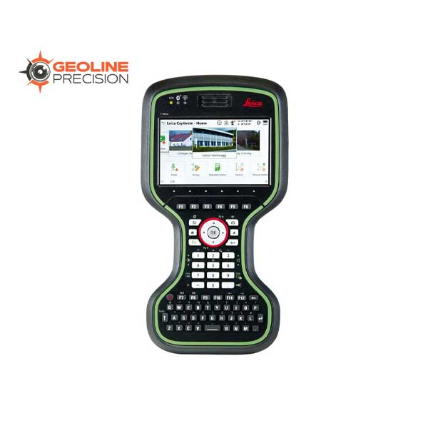
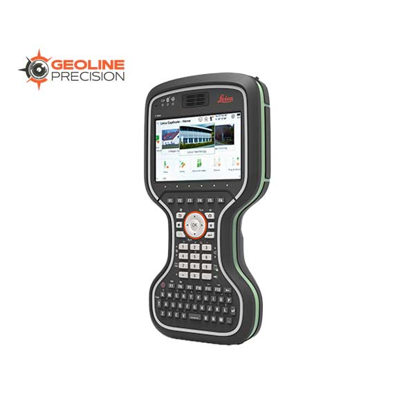
Software
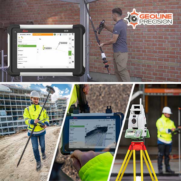
Leica Captivate Surveying Field Software
$ 0.00Leica Captivate is a user-friendly and customisable surveying field software that helps you tackle any measurement task. Whether collecting, viewing or sharing data, everything is done in one software with precise 2D views, 3D models and easy-to-use apps. Leica Captivate‘s industry and task-focused apps are designed for a range of measurement applications with Leica GNSS smart antennas, Total Stations and MultiStations, and the Leica AP20 AutoPole. In addition to enhancing the efficiency of data collection and use, Leica Captivate also empowers collaboration by supporting industry standard formats and data sharing via numerous cloud services.
-
Software
Leica Evidence Recorder
$ 0.00Leica Evidence Recorder, part of the Leica Geosystems Incident Mapping Suite, is the world’s best-selling evidence collection software built specifically for the crash and crime reconstructionist. This software allows users to review their measurements in 2D or 3D and confirm there are no errors or missing points before leaving the scene. Evidence is captured correctly and comprehensively every-time.
-
Software
Leica GeoMoS Adjustment Software
$ 0.00Construction sites, tunnels, mines, dams, slopes – wherever you need the most precise and reliable information on structural movement. Leica GeoMoS Adjustment allows you to make informed decisions based on statistically optimised and validated data.
-
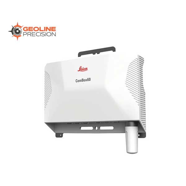
Software
Leica GeoMoS Edge
$ 0.00Leica GeoMoS software suite now comes with the brand new Leica GeoMoS Edge, a monitoring software for autonomous sensor control and uninterrupted data logging in the field. GeoMoS Edge allows for measurements to be continuously taken and temporarily stored even when there is no communication to the office available – ultimately preventing data loss. It is embedded on the Leica ComBox60 and the Leica ComGate20, plug-and-play solutions for monitoring communication.